Introduction to QGIS (English)
iMMAP
Enrolment for training
To enroll in the course, click the "Enroll Now" button and register.
About This Course
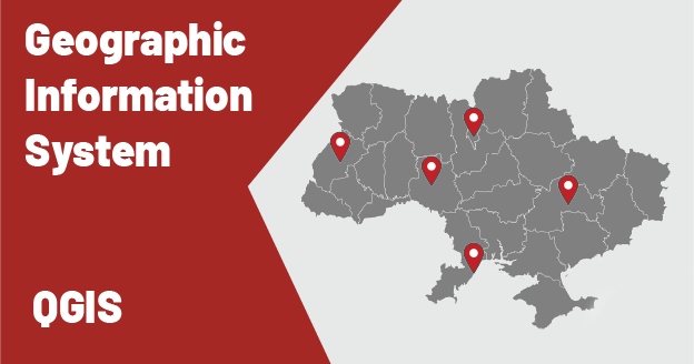
QGIS is a powerful open-source Geographic Information System (GIS) tool for creating, editing, analyzing and interpreting data in a geographic context. A vast array of QGIS functionality can be tailored to the specific needs of humanitarian organizations despite the difference in operational profiles. Beyond comprehensive geospatial analysis to support informed decisions, QGIS can visualize data in maps, graphs, and charts to transform complex information into appealing and understandable communication and decision-making material.
This course is designed for entry-level users and will provide a comprehensive overview of the skillset required to start producing maps. During the session, you will learn about the foundations of Geographic Information Systems (GIS), how to import and join data, and how to create different types of maps and select the right visualization style to make meaningful and easy-to-read products. The training is envisioned to be an interactive and practical session with space for participants to ask questions and engage with the exercises.
iMMAP is continuously working on the expansion of the technical materials and at the later stages will offer humanitarian stakeholders trainings for a more advanced understanding of GIS, including geospatial data analysis, modeling and performing complex tasks to automate data integration into geospatial databases.
Location
Online - (Microsoft Teams)
Requirements
QGIS software (Free), Laptop